Swiss Alps

Swiss Alps

Sunday, September 4, 2016

Sept 3 Cavedine Italy

Cavedine is a small village in northern Italy 120 miles south of Innsbruck. The village dates back to ancient times and is in an important archeological region. Our rented apartment is on the 2nd floor in a very old building on the old town square. The apartment is modern but the building still has its "old" character.

View from the apartment terrace.


View from the courtyard to the apartment.
The terrace is behind the grape vines.
The lower left gate is our ground level entry.


Looking out to the courtyard from the entry gate.
(gate is for privacy more than security)


First set of steps to apartment.


Around the corner at the first landing - more steps.


Other steps at the first landing.
Leading to ??


Apartment terrace.
Entry to the apartment is on the far left.
Steps with flower pots go to a 3rd story apt.


Concord grapes on the terrace.
Some are ripe.
You  can just squeeze the grape out of the skin. Tastee.


Apartment door from kitchen to living room.


Living room (window looks out to courtyard)


Kitchen between living room and bedroom.
Entry door goes into kitchen.


Bedroom.


Views in the courtyard.


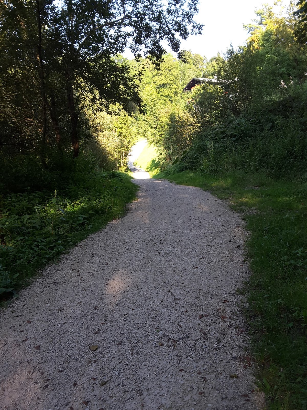
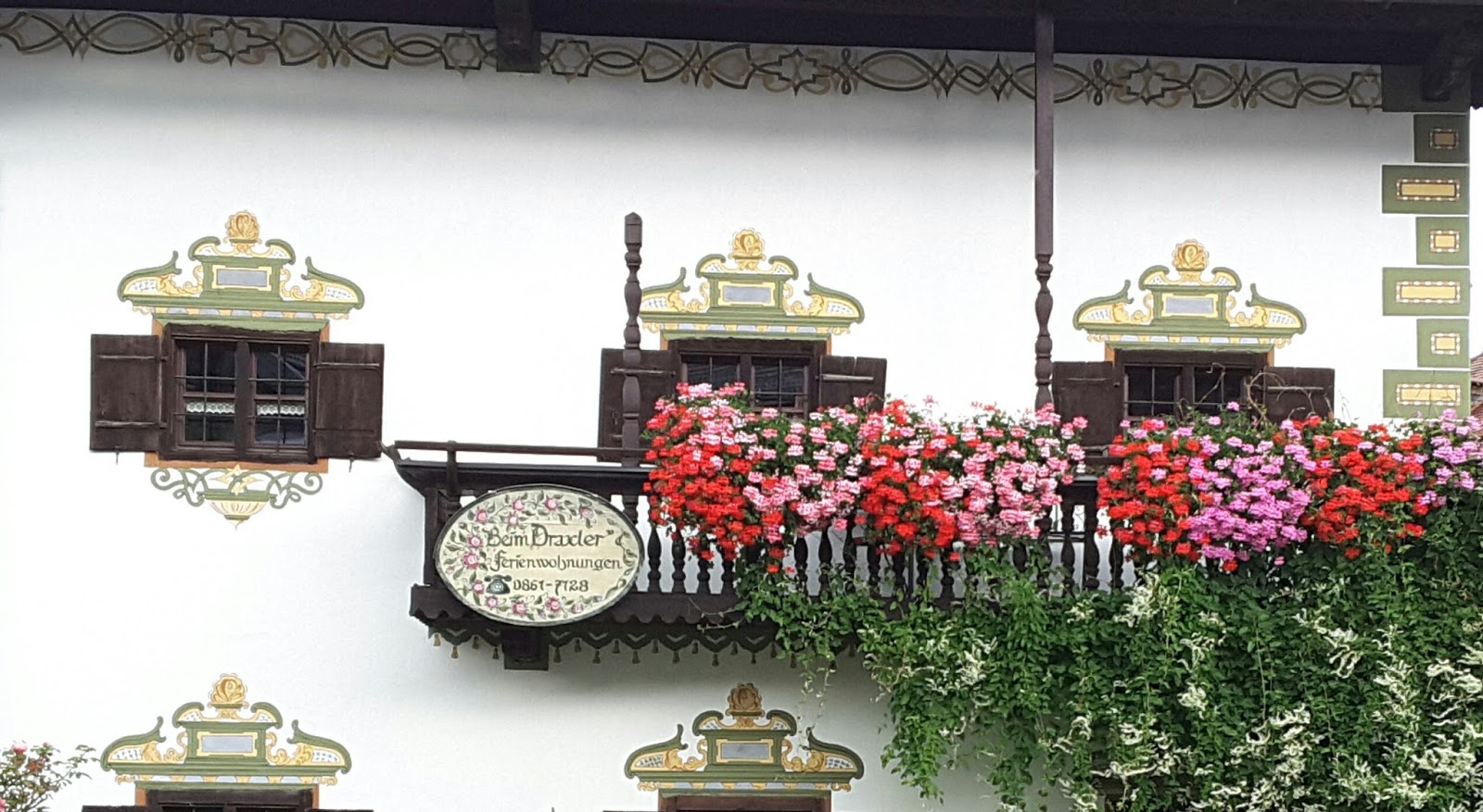
Views around the town.


Two buses pulled into the courtyard with men attired alike. We inquired and learned that there was a music festival at the school at 9:00 pm featuring 3 mens choral groups. We attended and enjoyed the music but, of course, could not understand a word of Italian.

Friday, September 2, 2016

Sept 2 Part 3 - Obersaltzberg Chalet and Berchtesgaden Altstadt

We located a chalet we had stayed in sometime in the 1980s while on a business trip to Swizerland. The other pictures are from the Altstadt (old city) part of Berchtesgaden.

Vacation chalet on the Obersalzberg mountain
(about 3 km from where Hitler had his Berghof)
where we stayed in 1983 or 1985.


I have a picture of Barb beside this
trough from our stay there in the 1980s.


The owner (Lisl) has lived there for 50 years
so she would have been our hostess in the 1980s.


Some view of the Altstadt in Berchtesgaden


WWI and WWII memorial paintings


"The fallen sons of the community  of Berchtesgaden"


"You gave your lives, We are reminded of your sacrifice."


Sept 2 Part 2 - Hitler and Obersaltzberg

The Nazis took over the mountain region called Obersaltzberg (above Berchtesgaden) after Hitler became chancellor. It became Hitlers second seat of power next to Berlin and Hitler actually spent most of his time there. Numerous facilities (besides Hitler's Berhof) were built to house the Nazi administration and SS troops. Many of those buildings were destroyed or have been removed since the war ended. There is a museum called the "Documentation Obersalzberg" which opened in 1999 located about 1/4 mile from where Hitler had his Berghof. The museum documents the history of Obersaltzberg and Hitler's time there and the ideology that eventually caused the death of millions. It also includes entrance into a portion of the underground bunkers that were built on the mountain. The sobering exhibits are very well done. While most of the documents displayed are in German, audio phones are available that explain the exhibits in English. The entry fee is 3 Euro + 2 Euro for an optional audio phone.

The Documentation Obersalzberg museum


An original entrance to the bunkers
(located at the museum)


Tunnel leading from the entrance
into  the bunkers.
There were 4 km (2.5 miles) of bunkers and tunnels.
Only a portion is open to the public.


Sign where Hitler's mountain home (Berghof) stood.


A long foundation wall is the only remnant 
of Hitler's Berghof


The path were the driveway led from the 
main road to the Berghof.
The entire area is now overgrown by
trees and the remnants are only visible
from the walking path.


Sept 2 Part 1 - Karlstein

There are some dark shadows persisting from the past in Bad Reichenhall. The country house apt where we are staying is actually located just outside of the village of Karlstein which is only 1 km from Bad Reichenhall. There is a military installation in Karlstein (roughly 1/2 mile square) that was built by the Nazi's to train mountain troops. The original stone Nazi eagle insignia is still on the corner of the building beside the main entrance although the swastika in the wreath below the eagle has been changed to an Edelweise flower. A sign on the surrounding fence says "bild vorboten" (pictures forbidden) so we could not take a picture as there were guards by the entrance. 
First shadow: Nazi troops from Karlstein were sent to Crete during the war. There was resistance from the Crete civilians. An officer ordered that for every German soldier killed by the resisters, 10 males from the civilian population were to be rounded up and executed. The Karlstein troops participated in those executions.
The bridge we cross from Karlstein into Bad Reichenhall is called the Kretebrucke (Crete bridge) as a memorial to the Karlstein soldiers and in addition, there is a memorial service each May in Bad Reichenhall commemorating the soldiers that died in Crete conducted by Nazi sympathizers. There is a group trying to get the name of the bridge changed and also demonstrates against the commemoration services as the speakers still make anti-Semitic comments.
Second shadow: Twelve French soldiers that fought with the Nazi's and were wounded were in a hospital at Karlstein at the close of the war. When these soldiers learned the French army was coming into Bad Reichenhall, they tried to escape but were captured. They were summarily executed in Karlstein on orders of a French general without any military court procedure. They were executed on the day the war ended in Europe. They declined blind folds and insisted on facing the firing squad (although orders were to shoot them from behind) and they all shouted Viva la France. Some argue they got their just reward as traitors to France. Others argue they were wounded soldiers and should have been taken as prisoners of war and tried by a military court. 
No pictures for this post.

Sept 1 Inzell and Ruhpolding

Bavaria is the largest of the 16 federal states in Germany and covers about 1/5 of the toal land area of Germany. The entire region is known for its beauty. So you can hardly go wrong if you pick a village on the map for a day trip. Inzell and Ruhpolding are 16 miles from Bad Reichenhall. Both turned out to be colorful and pleasant villages for a stroll. Ruhpolding (population 6400) hosted the biathlon (Nordic skiing and shooting) championships in 1979, 85, 96, and 2012. Its history goes back to the 800s. At one time, its economy was based on zinc and lead mining. It is now a popular summer (hiking/biking) and winter (Nordic skiing) resort. Some views in the villages.